Padua Map: Old Town, Station And The Euganean Hills
Padua (Padova) is an inland city in the Veneto, northern Italy, about 36 km in a straight line from Venice, and reading its map well means understanding three zones: the walled old town, the station quarter and the Euganean Hills to the south.
Short answer
Padua sits inland in the Veneto, about 36 km straight-line west of Venice. Its centre is a compact arcaded old town anchored by Piazza delle Erbe and Prato della Valle; the train station lies at its northern edge; the Euganean Hills, the spa towns and the Brenta Riviera villas ring the city within about 8 to 26 km.
Padua (Italian: Padova) is an inland city in the Veneto, northern Italy, about 36 km in a straight line from Venice, and once you hold its geography in your head the whole visit gets simpler. The map of Padua divides cleanly into three readable zones: a compact, arcaded old town where nearly all the famous sights cluster within a short walk of each other; a station quarter at the northern edge that handles arrivals, luggage and the airport bus; and the hill and villa country to the south and east, where the Euganean Hills, the spa towns of Abano and Montegrotto Terme and the Brenta Riviera sit inside a 30 km radius. This guide walks through each zone the way a map reads, from the regional scale down to the individual square, using straight-line distances computed from open map data and journey times reported by rail aggregators. For a sight-by-sight rundown rather than the geography, start with the site's things to do in Padua overview.
Where Is Padua On The Map Of The Veneto?
Padua sits in the central Veneto, on the Bacchiglione river and its canals, about 36 km in a straight line west of Venice, 30 km west of Vicenza, 41 km south of Treviso and 69 km east of Verona, all distances computed from open map data. It is an inland city of arcaded streets and market squares, not a lagoon or coastal town, and every one of those neighbour cities is a feasible day trip by rail from Padova station. Bologna lies about 110 km to the south.
The Veneto is Italy's north-east, and Padua occupies its functional middle. The Venice-Milan rail line passes through Padova station, which is why the city works both as a destination in its own right and as a base for the region. Venice Marco Polo airport connects to Padua by a direct Busitalia airport bus, EUR 13 one-way for an adult, running about every 40 minutes and taking about 45 minutes, according to Busitalia's own service page. Treviso airport has no confirmed direct bus link to Padua in the sources, so anyone flying in there should plan on a transfer.
What the regional map makes obvious is how much of the Veneto folds into a day trip from Padua. The straight-line distances below are computed values, not road distances, and they understate travel time, but they show the order of magnitude.
| Place | Straight-line distance from Padua centre | Reported train time from Padova |
|---|---|---|
| Venice (Venezia S. Lucia) | about 36 km | about 26 to 40 minutes |
| Vicenza | about 30 km | about 16 to 25 minutes |
| Treviso | about 41 km | about 28 to 60 minutes, sometimes with a change |
| Verona | about 69 km | about 43 to 60 minutes |
| Bassano del Grappa | about 42 km | about 1 hour |
| Chioggia | about 38 km | not published in the sources |
| Ferrara | about 66 km | not published in the sources |
| Bologna | about 110 km | not published in the sources |
Train times and fares in this guide come from rail aggregators such as Rome2Rio and Trainline rather than from Trenitalia directly, so treat them as "about" figures and confirm on Trenitalia's own site or app before travelling. The one regional fare the constraints supply is the Venice regional train at about EUR 5 and the Vicenza regional at about EUR 6; no other fare is given.
What Does A Map Of Padua's Old Town Show?
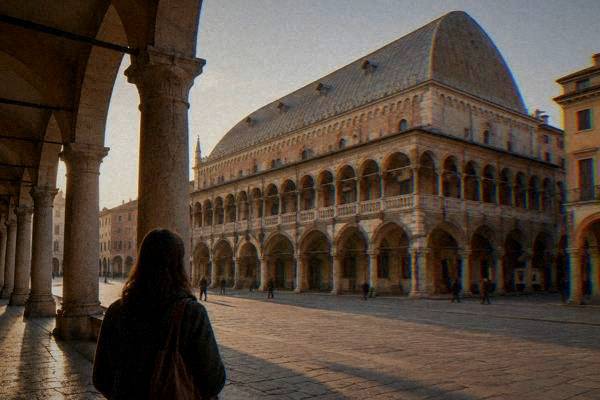
A map of Padua's old town shows a tight oval of arcaded streets centred on the market squares, Piazza delle Erbe and Piazza dei Frutti, with the frescoed Palazzo della Ragione between them, the Scrovegni Chapel and the Eremitani church at the north-west edge, the Basilica of Saint Anthony and Prato della Valle at the south-east, and the university's Palazzo del Bo in the middle. Every one of these sits within a walkable core of roughly one to two kilometres end to end.
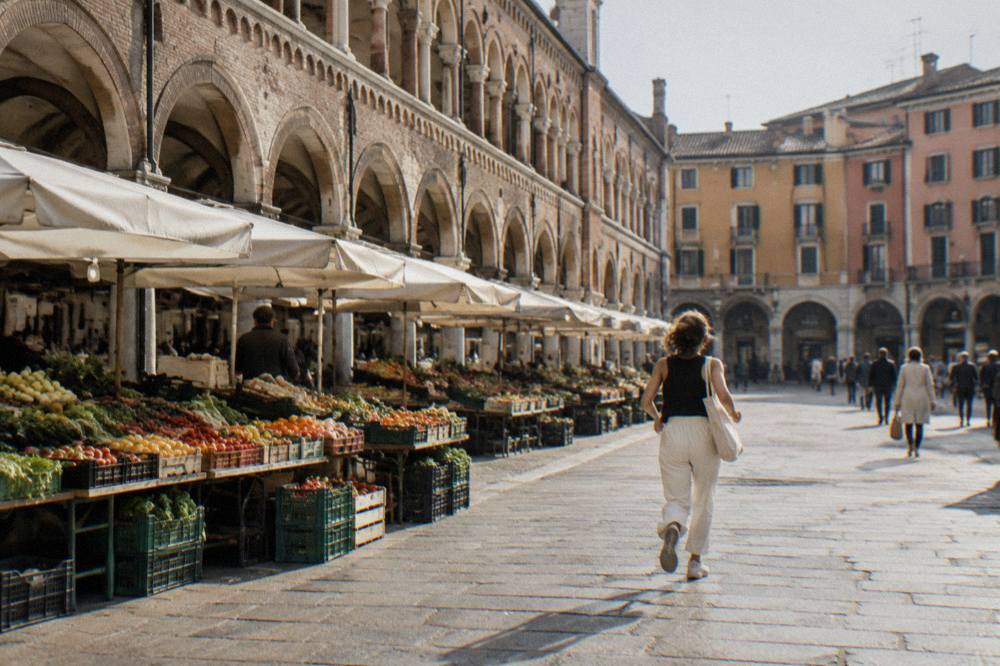
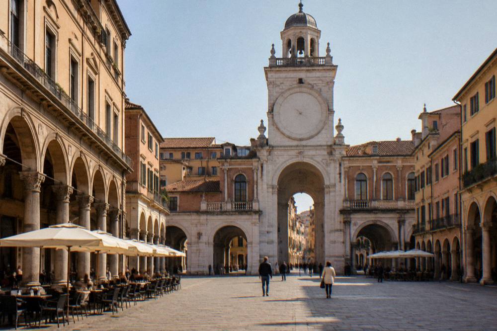
The single most useful thing a map of Padua teaches is that the old town is small. The historic centre, covered in detail on the centro storico area page, is a fabric of porticoed streets where the two market squares and their daily stalls act as the natural compass point. Piazza delle Erbe hosts its market Monday to Friday from 7:30 to 13:30 and Saturday from 7:30 to 20:00, per the Comune di Padova's markets page, so the square looks and sounds different depending on when your map walk crosses it.
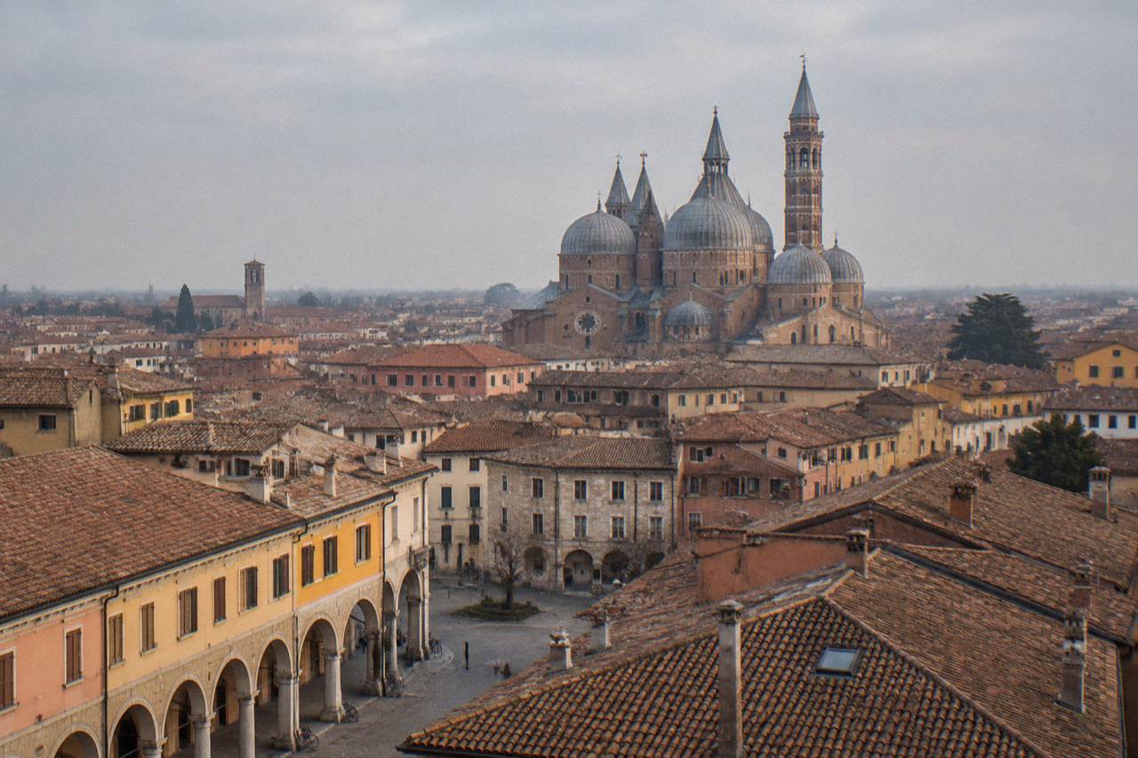
From the squares, the main sight clusters radiate in three directions. North-west lie the Scrovegni Chapel, the Musei Civici Eremitani and the Chiesa degli Eremitani, a few minutes' walk apart; booking the chapel's timed entry well ahead is covered on the Scrovegni Chapel tickets guide. South-east, past the university's Palazzo del Bo, stand the Basilica of Saint Anthony, free to enter per the basilica's listing, and beyond it Prato della Valle with its canal and double ring of statues. South-west, Caffè Pedrocchi, opened 1831, sits on its square a short stroll from the Bo.
| Old-town cluster | Main sights | Direction from Piazza delle Erbe |
|---|---|---|
| Market core | Piazza delle Erbe, Piazza dei Frutti, Palazzo della Ragione | the reference point itself |
| North-west edge | Scrovegni Chapel, Musei Civici Eremitani, Chiesa degli Eremitani | about 5 to 10 minutes on foot |
| University belt | Palazzo del Bo, Caffè Pedrocchi | a few minutes south |
| Santo quarter | Basilica of Saint Anthony, Oratorio di San Giorgio | south-east, 10 to 15 minutes on foot |
| Southern anchor | Prato della Valle, canal and statue ring | south-east, about 15 minutes on foot |
Padua holds two UNESCO World Heritage listings, and both show on the map of the old town. The Orto Botanico, founded 1545 and inscribed in 1997, stands near Prato della Valle; the fourteenth-century fresco cycles, "Padova Urbs Picta", inscribed in 2021, spread across eight complexes including the Scrovegni Chapel, Palazzo della Ragione and the Basilica of Saint Anthony, a spread the Urbs Picta UNESCO guide maps out in full.
How Do Padua's Sights Cluster For A First Visit?
For a first visit, the practical map of Padua has three clusters: the Scrovegni Chapel and Eremitani complex in the north-west, bookable only by timed slot; the market squares, Palazzo della Ragione, Palazzo del Bo and Caffè Pedrocchi in the centre; and the Basilica of Saint Anthony, Orto Botanico and Prato della Valle in the south-east. Doing them in that order, north-west to south-east, follows a straight line across the old town and keeps backtracking to a minimum.
The Scrovegni Chapel anchors the first cluster and it is the one sight whose logistics shape the day. Entry is timed, at most 25 people every 15 minutes, with about 15 minutes inside after a wait in the climate-controlled waiting room, and the chapel's own booking page says to arrive 5 minutes before the slot; late arrivals must rebook and pay again. The chapel is closed 16 to 27 November 2026 for the annual fresco inspection. The daytime ticket, EUR 15 full plus a EUR 1 booking fee, also covers the Musei Civici Eremitani and Palazzo Zuckermann, which makes the north-west cluster a half-day in itself. Giotto painted the cycle between 1303 and 1305, per the chapel's own site. The wider set of guides lives on Padua Travel Guide.
The central cluster is the free-roaming part of the map. The market squares, the frescoed hall of Palazzo della Ragione (full ticket EUR 8, per the civic museums' price list) and the university's Palazzo del Bo, with its 1594 anatomical theatre and Galileo's chair in the Sala dei Quaranta, sit within a few minutes of one another. The Bo's guided "Giro storico" costs EUR 10 full and runs in alternating Italian and English slots, per the university's own page. A guided walk stitches these together efficiently; the site's Padua walking tour guide compares the options, and a themed alternative like the Padua food tour route through the market squares adds tastings to the same geography.
The south-east cluster pairs the Basilica of Saint Anthony, free to enter, with the Orto Botanico, whose ticket rose to EUR 15 full from 1 September 2026 (EUR 12 in winter, November to February), and finishes at Prato della Valle, declared communal space by the Venetian Senate in 1767 and reworked under Andrea Memmo, per the city's tourism page.
| Sight | Cluster | Entry figure from the sources |
|---|---|---|
| Scrovegni Chapel | North-west | EUR 15 full plus EUR 1 booking fee, timed slot |
| Musei Civici Eremitani | North-west | included in the chapel daytime ticket |
| Palazzo della Ragione | Centre | EUR 8 full, EUR 6 concession |
| Palazzo del Bo tour | Centre | EUR 10 full, about 45 minutes |
| Basilica of Saint Anthony | South-east | free entry |
| Orto Botanico | South-east | EUR 15 full from 1 Sept 2026, EUR 12 in winter |
Where Is The Train Station On The Padua Map?
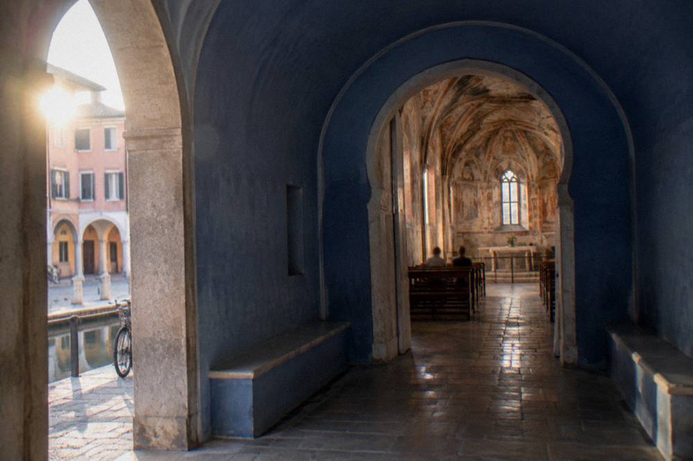
Padova station sits at the northern edge of the old town, a straight walk of roughly 10 to 15 minutes down to the market squares, with the IAT tourist office right at the exit of platform 1. The station handles the Venice-Milan line, the airport bus to Venice Marco Polo and the urban tram and bus network, making it the single most load-bearing point on any Padua map. Everything in this guide connects back to it.
The station quarter, covered on the stazione and Arcella area page, is where the map's practical layers matter most. The IAT office at platform 1's exit is open Monday to Saturday 9:00 to 19:00 and Sunday and holidays 10:00 to 16:00, closed 25 and 26 December and 1 January. The Busitalia airport bus to Venice Marco Polo leaves from here, EUR 13 one-way, about 45 minutes, every 40 minutes through the day. The station's left-luggage office at platform 1, open daily 6:00 to 20:00 at EUR 5 per 6 hours, is the confirmed luggage option in the sources. Urban transport radiates from here too: the TU1 urban ticket costs EUR 1.70 for 90 minutes, and you can tap a contactless card on board, per Busitalia's fares page; the tram line SIR1 runs north to south through the city, about 10.5 km and 26 stops per the municipal project documents. A second tram line, SIR3, is in pre-service testing with service targeted for the end of 2026, and no opening promise belongs on a map yet.
Anyone using Padua as a rail base should read the station alongside the guide to using Padua as a base for Venice. The Venice regional train takes about 26 to 40 minutes at about EUR 5, reported by rail aggregators, and one 2026 fact matters for day-trippers: Venice's day-tripper access fee trial ended on 27 July 2026, and no decision for 2027 had been announced, per Venezia Unica, so a Padua-based Venice day trip carries no confirmed access charge at the time of this page's facts.
How Do The Canals And Walls Read On A Map Of Padua?
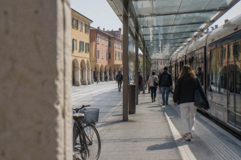
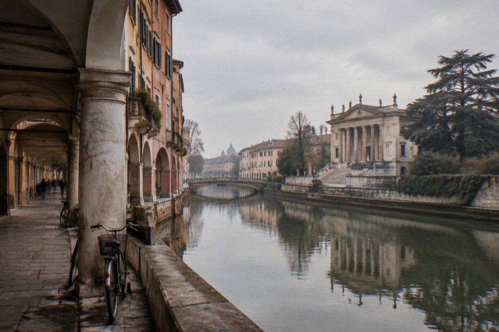
A map of Padua reads as a walled oval: the medieval and later ramparts trace a ring around the old town, the Bacchiglione river and its canals thread through and around it, and the Porta Portello gate, also named Porta Ognissanti in open map data, marks the old river entrance on the north-west side. The wall ring, about a kilometre or so across, is what makes the old town walkable end to end and separates it from the station quarter and the newer expansion beyond.
The water layer is the part of the map visitors underuse. The Bacchiglione feeds the inner canals, and the Portello gate area, mapped on the Portello area page, is where the river leaves the walls toward the Brenta. That is also the geography behind the Brenta Riviera: the villas line the river's course toward the lagoon, and Il Burchiello, the seasonal boat service between Padua and Venice along the Brenta, runs March to October in both directions per its own site. The Brenta Riviera day-trip guide covers the villa string; Villa Pisani at Stra lies about 11 km from the centre in a straight line, and its maze is described by the villa's own site as "among the most important in Europe", with timed or limited access announced.
The wall ring itself is more than a line on the map. Sections survive as park and promenade, and the mura di Padua guide in the site's sight pages walks them. What the walls do for a visitor is set the boundary of the "everything is close" zone: inside the ring, the whole sight list of this page is a walking proposition; outside it, the map switches to tram, bus or rail.
| Map feature | What it is | Where it sits |
|---|---|---|
| Bacchiglione river | the watercourse threading the city | enters north-west, loops the walls |
| Inner canals | navigable branches feeding the old town | through the historic centre |
| Porta Portello (Porta Ognissanti) | the old river gate, one gate with two names | north-west wall, river exit |
| Wall ring | former ramparts marking the old-town boundary | oval around the centro storico |
| Prato della Valle | canal-ringed square with a double statue ring | just inside the south-east edge |
Where Do The Euganean Hills Sit On A Padua Map?
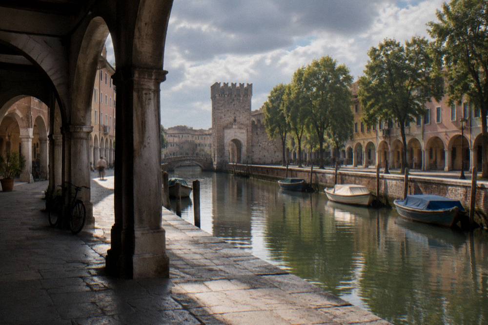
The Euganean Hills sit directly south and south-west of Padua, a volcanic hill group whose spa towns and villages all fall within about 8 to 26 km of the city centre in a straight line: Abano Terme about 8 km, Montegrotto Terme about 11 km, Villa dei Vescovi about 15 km, Arquà Petrarca about 20 km, Monselice about 21 km and Este about 26 km, all computed from open map data. On a regional map they form a compact pocket immediately behind the city, closer than Venice is.
This is the part of the Padua map that surprises people who assumed the region ends at the walls. The hills are the nearest day-trip terrain, closer than Venice in straight-line terms, and the Euganean Hills day-trip page maps the string: the two spa towns in the plain, then the hill villages. Entry prices for two named sites come from the venues themselves: Villa dei Vescovi, the FAI villa at Luvigliano di Torreglia, costs EUR 11 for adults, EUR 6 for ages 6 to 18 and students to 26, free under 6, EUR 28 for a family; Casa del Petrarca in Arquà Petrarca costs EUR 6 full, EUR 4 reduced, EUR 3 school, closed non-holiday Mondays plus 8, 25 and 26 December and 1 January.
Wine country wraps the same hills, and the Colli Euganei wine routes sit on the same southern map sheet. A guided trip through the hills, such as the olive oil and wine tour this site features, reaches mills and wineries in a half-day loop from Padua; readers can judge it through Check availability on the operator's live listing. Beyond the hills, the map extends to the Prosecco hills around Valdobbiadene, about 56 km north-east in a straight line, covered on the Prosecco Hills day-trip page.
| Euganean Hills place | Straight-line distance from Padua centre | Entry figure where the venue publishes one |
|---|---|---|
| Abano Terme | about 8 km | spa prices not published in the sources |
| Montegrotto Terme | about 11 km | spa prices not published in the sources |
| Villa dei Vescovi (Torreglia) | about 15 km | EUR 11 adults, EUR 6 ages 6 to 18, family EUR 28 |
| Arquà Petrarca | about 20 km | Casa del Petrarca EUR 6 full |
| Monselice | about 21 km | castle details not published in the sources |
| Este | about 26 km | castle details not published in the sources |
Which Day Trips Lie On Which Side Of Padua On The Map?
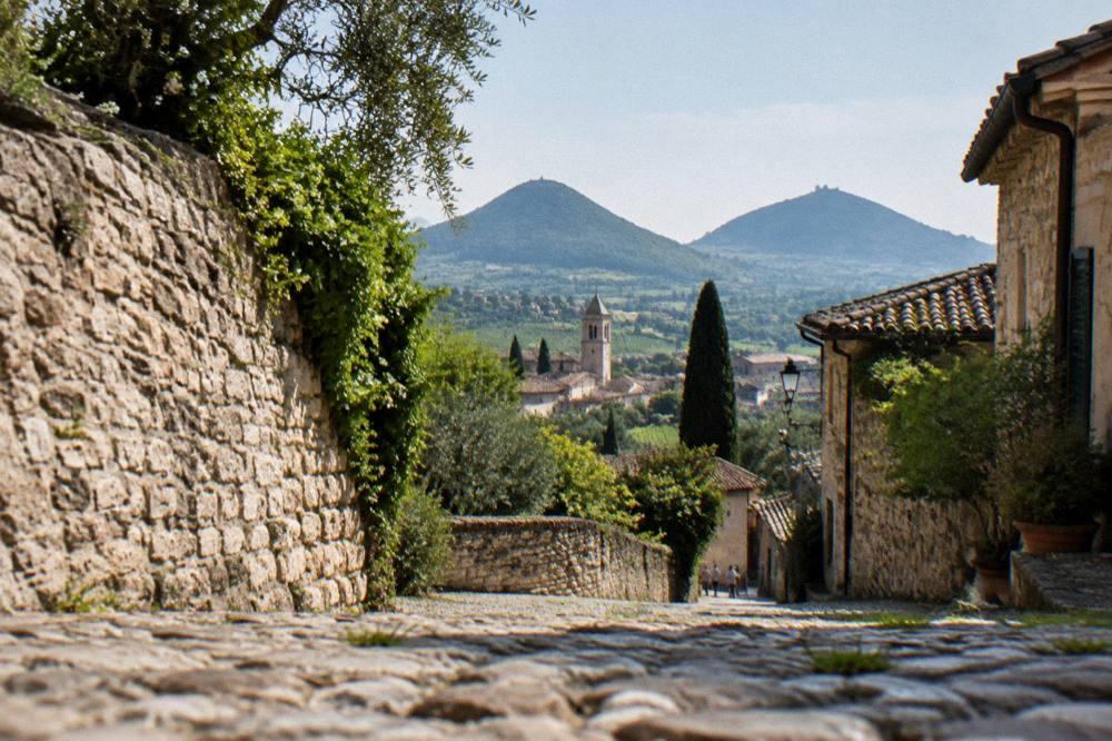
On a compass rose centred on Padua, Venice and the Brenta Riviera lie east (Venice about 36 km, the Riviera villas at Mira about 21 km), Vicenza and Verona lie west (about 30 and 69 km), Treviso and the Prosecco hills lie north-east (about 41 and 56 km to Valdobbiadene), and the Euganean Hills, the spas and the medieval wall towns lie south and south-west. Rail day trips are confirmed east, west and north; the southern pocket is the bus, boat and tour zone.
That compass reading is the most efficient way to plan a multi-day stay, because it stops two day trips landing on the same rail line on consecutive days without reason. East of Padua the map stacks Venice, Chioggia at about 38 km, and the Brenta villas; west of it, Vicenza with its Teatro Olimpico at EUR 12 full per the theatre's own tariff page, then Verona at about 69 km. North-east, Treviso and the Prosecco hills; due south, the hills pocket described above, plus Montagnana at about 37 km and Praglia Abbey, mapped on the Praglia Abbey day-trip page. Reported train times: Venice about 26 to 40 minutes, Vicenza about 16 to 25, Verona about 43 to 60, Treviso about 28 to 60 sometimes with a change; all from aggregators, so confirm with Trenitalia.
| Direction from Padua | Destinations | Straight-line distance | Reported train time |
|---|---|---|---|
| East | Venice | about 36 km | about 26 to 40 minutes |
| East | Chioggia | about 38 km | not published in the sources |
| East | Brenta Riviera (Mira) | about 21 km | river boat in season |
| West | Vicenza | about 30 km | about 16 to 25 minutes |
| West | Verona | about 69 km | about 43 to 60 minutes |
| North-east | Treviso | about 41 km | about 28 to 60 minutes |
| North-east | Valdobbiadene | about 56 km | not published in the sources |
| South-west | Montagnana | about 37 km | not published in the sources |
The Verona day-trip guide covers the western run in detail, including the Verona and Lake Garda combination, with Sirmione about 99 km away in a straight line.
Which Map Of Padua Suits A One-, Two- Or Three-Day Visit?
A one-day visit needs only the old-town map: the three clusters of the centro storico, Scrovegni Chapel to Prato della Valle, walked north-west to south-east. A two-day visit adds the station-quarter logistics plus one day trip east to Venice or south to the Euganean Hills. A three-day visit spreads the compass, pairing one old-town day with one rail day trip and one hills or Brenta day, and the site's two-day and three-day itineraries map exactly that progression.
The mapping logic behind the itineraries is simple: the old town is fixed, and each extra day buys one ring of the compass. The Padua in two days itinerary holds day one inside the walls and sends day two outward; the three-day itinerary adds the second outward day. Weather shapes the rings too: the Padua weather guide carries the ERA5 reanalysis normals for 1991-2020, which show a July and August mean daily high of 28.8 C and November as the month with the highest rain total at 114 mm, and the best time to visit guide weighs them.
Choosing where to sleep is a map decision before it is a price one. The where to stay in Padua guide compares the quarters; in map terms the choice is between inside the walls, steps from the sights but inside the limited-traffic geometry, or the station quarter, which trades a longer walk for rail and airport-bus convenience. The tourist tax applies either way, collected by the accommodation and capped at five consecutive nights per person, per the Comune di Padova's tax page, which publishes no per-category rates on the page this site's sources captured.
Common Questions About The Padua Map
Is Padua close to Venice on the map?
Venice lies about 36 km east of Padua in a straight line, and the regional train from Padova station takes about 26 to 40 minutes at roughly EUR 5, figures reported by rail aggregators, so confirm on Trenitalia before travelling. Padua is inland, on the Bacchiglione, not on the lagoon.
Can you walk across Padua's old town on a map?
Yes. The walled old town runs roughly one to two kilometres end to end, from the Scrovegni Chapel and the Eremitani complex in the north-west to Prato della Valle in the south-east, and every major sight on this page's map falls inside that walkable oval.
Where does the airport bus leave from on the Padua map?
The Busitalia airport bus to Venice Marco Polo serves Padova station, EUR 13 one-way for an adult, about 45 minutes, every 40 minutes through the day per Busitalia's service page. The IAT tourist office sits at the exit of platform 1, open Monday to Saturday 9:00 to 19:00 and Sunday and holidays 10:00 to 16:00.
Which day trips are closest to Padua on the map?
The Euganean Hills pocket is the closest: Abano Terme about 8 km, Montegrotto Terme about 11 km, Villa dei Vescovi about 15 km, Arquà Petrarca about 20 km, Monselice about 21 km and Este about 26 km, all straight-line distances. Vicenza at about 30 km and Venice at about 36 km follow.
Does a map of Padua show the walls and canals clearly?
It does. The wall ring traces an oval around the centro storico, the Bacchiglione and its inner canals thread through it, and the Porta Portello gate, which open map data also names Porta Ognissanti, marks the old river entrance on the north-west side.
The map of Padua, read this way, is three sheets in one: a regional sheet that makes Venice, Vicenza and the hills a set of short hops; an old-town sheet where the whole sight list fits inside the walls; and a logistics sheet anchored on the station. Plan within those layers and the city's geography does half of the itinerary work for you.