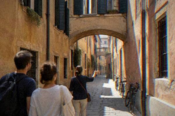
Padua City Walls: The Renaissance Bastions On Foot
Padua keeps substantial stretches of its historic defensive walls, from medieval ramparts to the bastioned circuit built up under Venetian rule from 1405 to 1797, and they ring the old centre in a walkable green band.
Short answer
The Padua city walls survive as a ring of ramparts and bastions around the old centre, built up in stages from the Middle Ages and reshaped as a bastioned circuit under Venetian rule from 1405 to 1797. The circuit can be walked in sections; Porta Portello, also named Porta Ognissanti, is the best-known surviving gate.
Padua (Italian: Padova), an inland city in the Veneto about 36 km in a straight line from Venice, keeps a long belt of historic city walls wrapped around its old centre. The circuit mixes medieval rampart, Venetian-era bastion and later earthwork, and it works today as a green walking corridor that links the station quarter, the Portello gate, the Prato della Valle basin and the riverside south of the centre. This page walks the walls as they stand: what is dated, what the sources actually say, and how to fold the circuit into a visit built around the Scrovegni Chapel, the Basilica of Saint Anthony and the market squares inside the ring.
A note on what this page claims. The exact dates and total length of Padua's wall circuits are not in the sources used on this site, so they do not appear here. What the sources do date is the political story the walls belong to: the Carrara lordship from 1318 to 1405, Venetian rule from 1405 to 1797, and the university and building history inside the ring. That is the frame everything below hangs on.
What Are The Padua City Walls And Why Do They Matter?
The Padua city walls are the surviving defensive ring around the old centre of Padua, a city in the Veneto in northern Italy, built up in stages from the Middle Ages and reshaped as a bastioned circuit while Padua was under Venetian rule from 1405 to 1797. They survive today as ramparts, earth banks, water defences and gates, and they give the historic centre a walkable green edge rather than a museum exhibit.
Padua's fortifications belong to the same story as every other big structure in the city. The Roman city, Patavium, stood here long before walls of the surviving kind existed; the founding legend of the Trojan prince Antenor is a legend, and the sources give it as one. What is dated firmly is the later sequence. The Carrara family held the city as lords from 1318 to 1405, with short interruptions, and their Padua was a walled capital. Venice took the city in 1405 and held it until 1797, and under that long rule the defences were rebuilt to face artillery: lower, thicker, angular bastions instead of tall medieval curtain walls.
That is the useful mental model for a walker. The walls you meet on the ground are mostly the later, earth-and-brick kind, planted with trees and cut through by modern roads, not an intact medieval curtain. The strongest single monument of the whole system is a gate, not a wall: Porta Portello, which the mapping data names Porta Ognissanti, the same gate under two names.
Inside the ring, the city the walls protected is compact. Every major city-tier landmark sits within 3 km of the centre, and the main sights cluster much closer than that: the Scrovegni Chapel, the Basilica of Saint Anthony, Palazzo della Ragione and the Orto Botanico all sit within or beside the historic nucleus the walls enclose.
How Long Is A Walk Around The Walls Of Padua?
A circuit of the surviving wall belt of Padua takes in the ramparts north of the station, the Portello gate on the north-east side, the Piovego and Canaltorta water defences, the bastions south of Prato della Valle and the riverside return to the centre. No official length figure or walking time for the walls appears in the material used for this page, so this guide names the sections in order rather than promising a distance.
What can be said with figures comes from the city itself, not the walls. The tram line SIR1 runs north to south for about 10.5 km with 26 stops, crossing the walled centre's districts, which gives a rough sense of the city's scale. The urban TU1 ticket, at EUR 1.70 for 90 minutes, bought digitally or by tapping a contactless card on board, covers bus and tram if a section of walking needs shortcutting. A reported daily ticket costs EUR 4.70, and the TU2 conurbation ticket EUR 2.00.
The walls reward the slow approach precisely because they are a band, not a monument. Walking a section between the station and Porta Portello, or a southern loop past Prato della Valle, connects parts of Padua that the sight-lists skip: allotments, playing fields, canal banks and bastion flanks under trees. The Prato della Valle end of the circuit matters most. That enormous square, declared communal space by the Venetian Senate in 1767 and reclaimed under Andrea Memmo, is ringed by its own canal and double ring of numbered statues of famous people, a water defence in miniature that echoes the city wall's use of water.
For the walls walk itself, the practical spine is this: start at the station side, follow the rampart line north and east toward Porta Portello, drop south along the water to the Prato della Valle quarter, then return through the centre past the Basilica of Saint Anthony and the Piazza delle Erbe market squares. Sections can be cut with the tram; the SIR1 line crosses the city north to south.
Where Do The Walls Start And Finish Around The Centre?
The wall belt of Padua encloses the historic centre roughly between the railway station on the north-west, Porta Portello (Porta Ognissanti) on the north-east, the Prato della Valle and Santa Giustina quarter on the south-east, and the riverside meadows on the south-west. The station, the old centre and the Prato all sit inside or on the edge of this ring, so a wall walk naturally begins wherever a visit begins.
The station quarter is the practical entrance for anyone arriving by train. Trains from Venice reach Padova in about 26 to 40 minutes on regional services, and the tourist office at the station exit of platform 1 keeps hours from 9:00 to 19:00 Monday to Saturday and 10:00 to 16:00 on Sundays and holidays. From there the rampart lines begin within sight of the tracks.
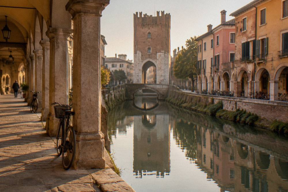
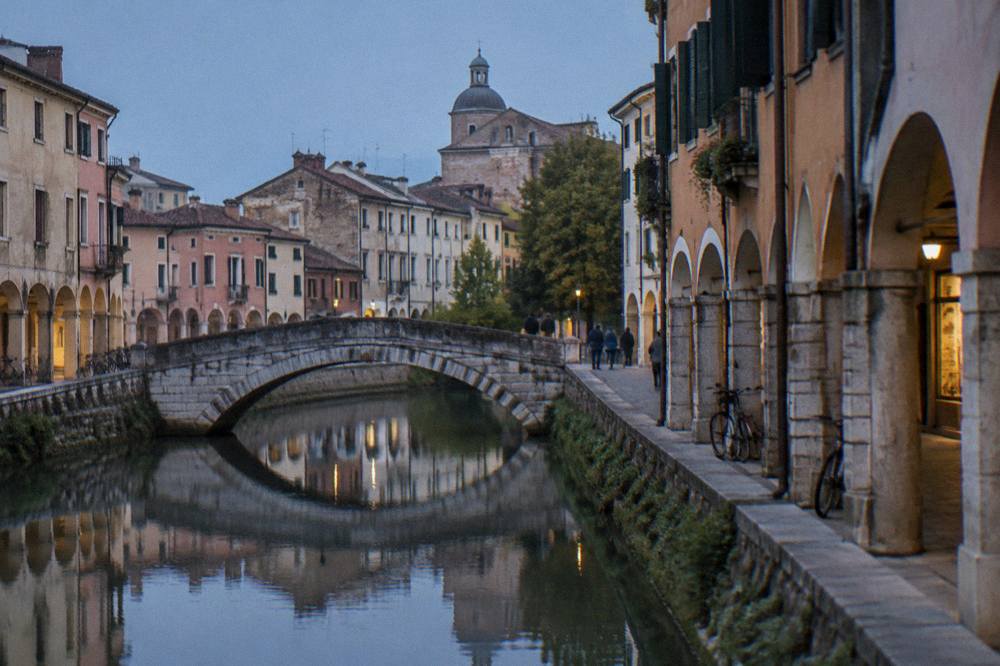
Porta Portello is the named monument of the circuit. The mapping data gives the gate a double name, Porta Portello and Porta Ognissanti, and no construction date for it is given here. What the gate shows is the logic of the whole system: a defended opening onto water, with the canal still running past it, controlling the road that left the city to the north.
South of the centre the walls meet the river landscape. Padua sits on the Bacchiglione and its canals, an inland river city, and the southern defences used that water. The walk past the Basilica di Santa Giustina and around Prato della Valle follows the line where wall and water worked together.
What Can You Still See Of The Walls Today?
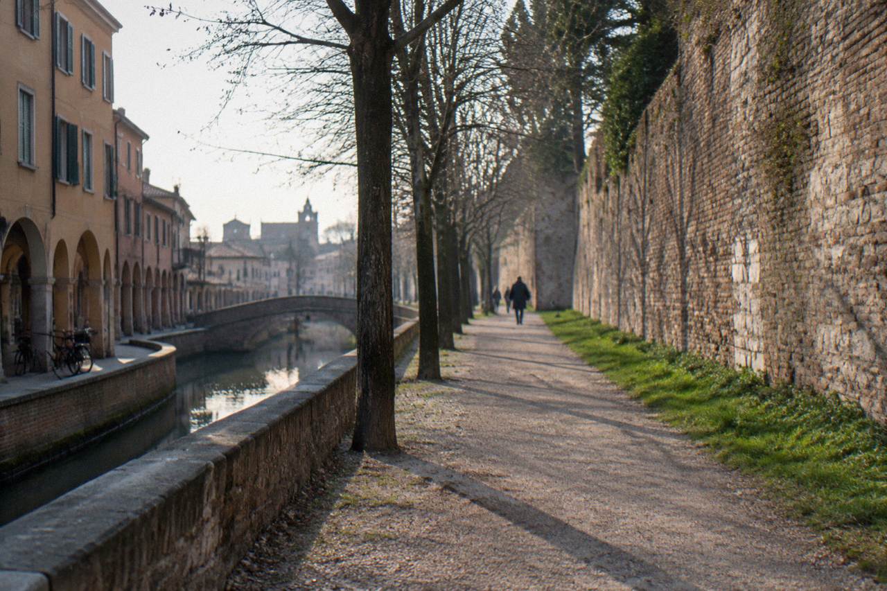
What survives of the Padua city walls is a band of ramparts, bastion profiles, water channels and one celebrated gate, Porta Portello (Porta Ognissanti), rather than a complete intact circuit. The green embankments north and east of the station, the canal-side defences, and the bastioned stretches near Prato della Valle and the southern river meadows are the visible remains a walker meets today.
The character of the survival matters more than a catalogue. Venetian-era bastioned defences were designed as earthworks faced with brick and backed by water, and that is exactly the material that turns into parkland after a few hundred years. In Padua the ramparts read as tree-lined banks with masonry showing at the edges, cut by roads and railways but continuous enough to follow on foot for long stretches.
Three kinds of surviving element are easiest to pick out:
| Element Of The Wall System | What A Walker Sees | Where It Reads Clearest |
|---|---|---|
| Bastion flanks | Angled grass and brick banks, wider than a plain wall | Stretches between the station and Porta Portello |
| Gates | A single celebrated gateway onto water | Porta Portello, also named Porta Ognissanti |
| Water defences | Canals and moat lines running along the rampart base | North-east side and south toward Prato della Valle |
None of this is fenced off as a single ticketed attraction. The walls are public ground, and that is their charm: they knit the monumental city (the Scrovegni Chapel, the Basilica, Palazzo del Bo with its 1594 anatomical theatre) to the everyday one of students, runners and allotments. The University, founded in 1222, counts about 76,000 students, and the wall paths are part of the city those students move through daily.
How Do The Walls Fit Into A Day In Padua?
The walls fit a Padua day as the frame around the picture: walk a section in the morning between the station and Porta Portello, spend the middle of the day inside the ring on the Scrovegni Chapel, Palazzo della Ragione and the Basilica of Saint Anthony, then close with the southern ramparts and Prato della Valle. Every one of those inner sights sits within 3 km of the centre, so the walls never take you far from the itinerary.
The one hard constraint inside the ring is the Scrovegni Chapel. Entry is timed only, at most 25 people every 15 minutes, with about 15 minutes inside after a wait in the climate-controlled waiting room, and visitors must be there 5 minutes before the slot on the ticket. There is no same-day online booking; anyone without a reservation should check availability at the museum ticket office. The daytime ticket, EUR 15 full and EUR 11 reduced plus a EUR 1 booking fee, also covers the Musei Civici Eremitani and Palazzo Zuckermann. The chapel is closed 16 to 27 November 2026 for the annual fresco inspection.
A wall-flavoured day, using only what the sources date:
| Time Of Day | Where | What The Sources Say |
|---|---|---|
| Morning | Station quarter to Porta Portello | Rampart walk; IAT station office open Mon to Sat 9:00 to 19:00 |
| Late morning | Scrovegni Chapel | Timed entry, 15 minutes inside, closed 16 to 27 Nov 2026 |
| Midday | Piazza delle Erbe and Palazzo della Ragione | Market Mon to Fri 7:30 to 13:30, Sat 7:30 to 20:00; Palazzo EUR 8 full |
| Afternoon | Basilica of Saint Anthony | Free entry; tomb and Chapel of the Relics |
| Late afternoon | Prato della Valle and southern walls | Senate declaration of 1767; canal and statue ring |
For a fuller plan, the site's things to do in Padua page covers the interior sights in depth, and getting around Padua handles the tram and bus detail.
When Is The Best Time Of Year To Walk The Padua Walls?
The wall paths of Padua are open ground with no seasonal ticket, so the choice is about weather: the ERA5 reanalysis for Padua, 1991-2020, shows mean daily highs of 28.8 C in July and August against 7.3 C in January, with November the month carrying the highest rain total at 114 mm and January the lowest at 53.6 mm. Late spring through early autumn offers the warmest walking; November is the month with the most rain in the modelled normals.
The full modelled picture, ERA5 reanalysis, 1991-2020:
| Month | Mean High C | Mean Low C | Rain Mm |
|---|---|---|---|
| Jan | 7.3 | -0.2 | 53.6 |
| Feb | 9.4 | 0.6 | 57.9 |
| Mar | 13.7 | 3.9 | 67.2 |
| Apr | 17.6 | 7.8 | 84.4 |
| May | 22.1 | 12.4 | 99.7 |
| Jun | 26.2 | 16.6 | 81.0 |
| Jul | 28.8 | 18.9 | 62.1 |
| Aug | 28.8 | 19.2 | 78.7 |
| Sep | 23.6 | 14.9 | 105.5 |
| Oct | 18.4 | 10.6 | 105.4 |
| Nov | 12.6 | 5.5 | 114.0 |
| Dec | 7.8 | 0.7 | 69.9 |
These are modelled normals for a grid cell at the centre of Padua, not a weather-station record, and they say nothing about sunshine hours. Two practical readings follow anyway. September and October each carry about 105 mm of rain in the normals, so a walls walk in autumn wants a spare half-day indoors behind it: the Palazzo del Bo tour or the MUSME fill that role. And the cold edge of the year has its own appeal: the ramparts under bare trees, with January lows around -0.2 C, pair well with Caffè Pedrocchi, opened in 1831, inside the ring.
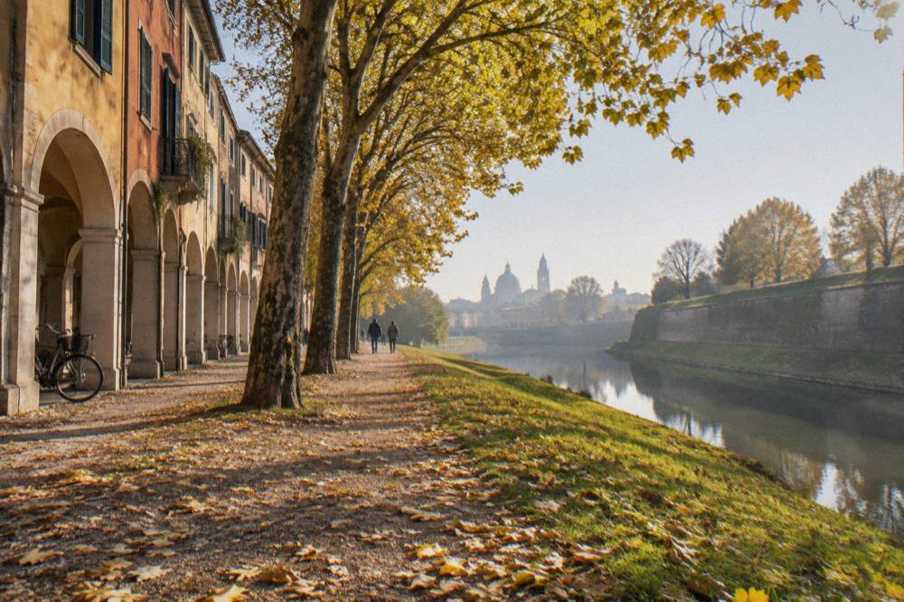
Does it snow? A long climate series for Padua, 1725 to 2024, shows the recent decades averaging about 4.4 snowy days per year, down from about 10.4 in the 1785 to 1814 period, with seasons of no snow at all not uncommon. Snow on the bastions is possible but not a plan. More of these guides are collected on Padua Travel Guide.
Which Gates And Water Defences Shaped The Walled City?
The gate the sources name is Porta Portello, which the mapping data also calls Porta Ognissanti, the same gate under two names, defended where the road north met the canal. Padua is a river city on the Bacchiglione and its canals, and its water defences, the moats and channels that ran along the rampart bases, did as much work as the masonry. No construction date for any gate of the circuit is in the sources for this page.
The gate as a type deserves a minute of attention, because it explains the wall's whole logic. A Renaissance bastioned defence did not hide; it presented a low, calculated face to artillery and channelled all traffic through a small number of fortified openings. Porta Portello is the survivor of that set, and its setting, stone over water, is the clearest single image of the walled Padua that Venice governed from 1405 to 1797.
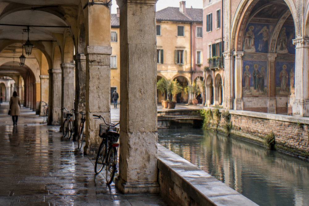
Inside the gates, the water keeps arriving. The Canaltorta and the Piovego, the canal names that appear along the northern and eastern wall line, belong to the Bacchiglione system, and the riverside walks south of the centre follow the same water the defences used. This is also why Padua's walls feel different from a dry-land circuit like, say, the walled hill towns of the Euganean Hills: the defence here was hydraulic as much as architectural.
For comparison, other walled towns sit within day-trip range of Padua, all distances straight-line:
| Walled Day Trip From Padua | Straight-Line Distance | What Is Verified There |
|---|---|---|
| Cittadella | Within the Veneto day-trip set | Walls walkway; check the current price locally |
| Este | 26 km | Town of the Euganean fringe |
| Monselice | 21 km | Hill town of the Euganean Hills |
| Montagnana | In the Euganean set | Medieval walls; no verified length figure |
| Ferrara | 110 km | Renaissance city; longer rail run |
The site's pages on Cittadella and Este cover those walls in their own right.
How Do You Get To The Walls And Around Them?
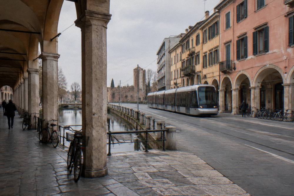
The wall belt of Padua is reached on foot from Padova station, whose forecourt sits against the northern rampart line, or by tram: line SIR1 runs about 10.5 km north to south with 26 stops, and a TU1 90-minute ticket costs EUR 1.70, bought in an app or by tapping a contactless card on board. A second tram line, SIR3 from the station to Voltabarozzo, is in pre-service testing, with no opening date to promise.
The fares and figures for getting around the wall circuit:
| Transport | Figure | Notes |
|---|---|---|
| TU1 urban ticket | EUR 1.70, 90 minutes | Bus and tram, digital or contactless tap on board |
| Daily urban ticket | EUR 4.70 | Reported by the operator's fare page |
| TU2 conurbation ticket | EUR 2.00 | Reported by the operator's fare page |
| Tram SIR1 | About 10.5 km, 26 stops | Running north to south |
| Tram SIR3 | Station to Voltabarozzo | Pre-service testing; no opening date announced |
| Regional train to Venice | About EUR 5, 26 to 40 minutes | Frequent regional services |
Arrivals from the airports land on the same network. The Busitalia airport bus between Padua and Venice Marco Polo costs EUR 13 one-way for an adult, EUR 6.50 for a child, with 54 runs a day roughly every 40 minutes from 05:30 to 22:50, taking about 45 minutes. Luggage can wait at the station's left-luggage office at platform 1, open daily 6:00 to 20:00 at EUR 5 per 6 hours, useful on a wall-walk departure day.
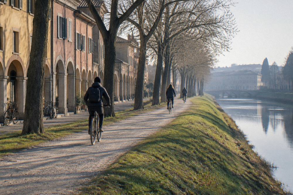
Cycling suits the walls well, since the rampart paths are flat; the site's guidance on getting around Padua covers the tram, bus and bike detail. Bike-share operators and tariffs are not covered here, so no operator is named.
What Sits Inside The Walls That You Should Not Miss?
Inside the wall ring of Padua sit the Scrovegni Chapel with Giotto's frescoes painted between 1303 and 1305, the Basilica of Saint Anthony, begun in 1232 after the Saint's death in 1231, Palazzo della Ragione at EUR 8 full price, the Orto Botanico founded in 1545 and inscribed by UNESCO in 1997, and Palazzo del Bo with the anatomical theatre of 1594. All of it lies within 3 km of the centre, close enough that the walls and the sights share one walkable day.
The wall walk earns its keep as a connector between these. A short list of the interior highlights, with the figures the sources give:
| Sight Inside The Walls | Key Figure | Detail |
|---|---|---|
| Scrovegni Chapel | Frescoes 1303 to 1305 | Timed entry; EUR 15 full daytime ticket plus EUR 1 booking fee |
| Basilica of Saint Anthony | Begun 1232 | Free entry; tomb and Chapel of the Relics |
| Orto Botanico | Founded 1545, UNESCO 1997 | EUR 15 full from 1 September 2026 |
| Palazzo del Bo | Anatomical theatre 1594 | Guided historical tour; alternating Italian and English slots |
| Palazzo della Ragione | EUR 8 full, EUR 6 concession | Tue to Sun 9:00 to 19:00 |
| Prato della Valle | Senate declaration 1767 | Canal and double ring of numbered statues |
The Orto Botanico price note matters for 2026 planning: the new tariffs from 1 September 2026 are EUR 15 full for ages 26 to 64, EUR 12 winter full from November to February, EUR 10 reduced for 65 and over, and EUR 8 winter reduced. The garden closes on non-holiday Mondays and on 25 December 2026, and opens 8 December 2026.
The fourteenth-century fresco cycles that earned Padua its second UNESCO listing in 2021, the Padova Urbs Picta inscription covering eight complexes, are the deepest reason the interior outweighs the frame: the walls protected a city of painters, and the walls walk is the long way around their work.
For travellers who want the frame and the picture together, a guided option exists: the Exclusive Padua Tour: Scrovegni Chapel, Basilica & Highlights walks the interior monuments with a guide, and you can Check availability on the operator's live listing. The walls themselves need no ticket.
Are The Padua Walls Good For Families And Slow Travelers?
The wall belt of Padua is flat, free, public and shaded in stretches, which suits families, runners and slow walkers better than a single ticketed monument would. The circuit links parks, water and squares, with the Prato della Valle basin, the riverside south of the centre and the station-side ramparts all working as low-effort sections. No step-free certification for the wall paths is known, so anyone with mobility needs should check conditions locally.
The family logic of the walls is the same as the student logic: they are everyday ground. The Saturday market at Prato della Valle runs 8:00 to 19:00 in winter and 8:00 to 20:00 in summer, selling plants, flowers and fruit and vegetables, and the antiques market fills Prato della Valle and via Umberto I on every third Sunday of the month. Both give a wall-end walk a destination with something to buy and eat.
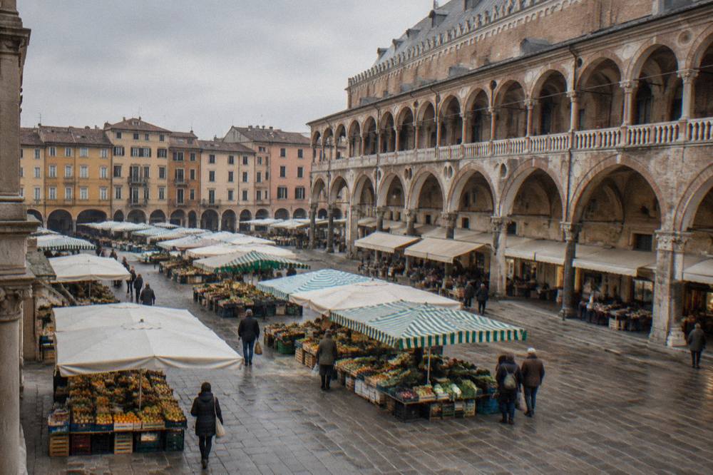
The interior offers its own easy anchors. The Piazza delle Erbe market runs Monday to Friday 7:30 to 13:30 and Saturday 7:30 to 20:00 with 52 stalls of fruit, vegetables and flowers, and the Piazza dei Frutti food market runs Monday to Wednesday 8:00 to 14:00 and Thursday to Saturday 8:00 to 19:00. Sotto il Salone, the covered market under Palazzo della Ragione, is the food stop inside the ring; the tourism board describes it as a historic market of local products.
For a rainy-day counterweight, the interior museums carry the day: the Musei Civici at the Eremitani, included in the Scrovegni daytime ticket, the MUSME museum of medicine, the Torre dell'Orologio, free with mandatory booking on set days, and the Loggia and Odeo Cornaro, EUR 5 full with seasonal hours. The site's page on Padua in the rain plans that day in full.
What Day Trips Pair With A Walls Walk In Padua?
The strongest day-trip pairings from the walls of Padua are the walled and water-defended towns of the Veneto: Cittadella and Montagnana for walls, Este and Monselice on the Euganean fringe at 26 km and 21 km straight-line, Vicenza at 30 km with a regional train of about 16 to 25 minutes, and Venice at 36 km with regional trains taking about 26 to 40 minutes. Each pairs a full day away with a morning or evening wall section in Padua itself.
The train figures, all reported for regional services and worth confirming on Trenitalia before travel:
| Destination | Straight-Line Km | Regional Train Time |
|---|---|---|
| Vicenza | 30 | About 16 to 25 minutes |
| Venice | 36 | About 26 to 40 minutes |
| Verona | 69 | About 43 to 60 minutes |
| Treviso | 41 | About 28 to 60 minutes |
| Arqua Petrarca | 20 | Bus or rail via the Euganean lines |
| Bologna | 110 | Longer high-speed run |
The comparison that interests wall walkers is honest rather than flattering. Cittadella's walkable wall circuit is a complete ring of a smaller town; Montagnana keeps its medieval walls; Padua's system is the bigger, broken, greener thing, a bastioned belt around a living city rather than a preserved ring. Each answers a different question, and the Cittadella page covers its walkway and its price, which this page leaves to be checked on the spot.
The Venetian connection deserves one careful note for 2026 planners. Venice's day-tripper access fee trial ended on 27 July 2026, and from that date the fee does not apply; no decision for 2027 had been announced. Nobody walking out of Padua's walls toward Venice should budget for that charge on the strength of old articles.
Common Questions About The Padua City Walls
How old are the Padua city walls?
The sources used on this site give no single construction date for Padua's wall circuits. What is dated is the political frame: the Carrara lordship from 1318 to 1405 and Venetian rule from 1405 to 1797, the period in which the defences took the bastioned form whose ramparts survive today.
Can you walk all the way around the walls of Padua?
Large stretches of the wall belt are walkable as public ground, especially between the station and Porta Portello and around the southern side near Prato della Valle, but the sources give no official circuit length or a guarantee of continuity, and roads and railways cut the line in places. Walk it in sections rather than expecting one unbroken ring.
Is Porta Portello the same as Porta Ognissanti?
Yes. Porta Portello and Porta Ognissanti are two names for the same gate on the north-east side of Padua's historic centre; the mapping data used on this site names it Porta Ognissanti. No construction date for the gate is available.
Do the Padua city walls charge admission?
No. The wall belt is public ground with no entrance fee. The ticketed sights are inside the ring, such as the Scrovegni Chapel at EUR 15 full for the daytime museums-and-chapel ticket plus a EUR 1 booking fee, Palazzo della Ragione at EUR 8 full, and the Orto Botanico at EUR 15 full from 1 September 2026.
How do the walls connect to Prato della Valle?
The southern wall sections run near the Prato della Valle quarter, a space declared communal by the Venetian Senate in 1767 and reclaimed under Andrea Memmo. The square's own canal and double ring of numbered statues echo the water-based defence logic of the city walls around it.
What is the closest airport to the Padua walls?
Venice Marco Polo. The Busitalia airport bus runs between Padua and the airport for EUR 13 one-way per adult, about 45 minutes, with roughly 54 runs a day every 40 minutes from 05:30 to 22:50 out of Padua and 06:30 to 23:50 from the airport.