Where Is Padua In Italy?
Padua (Padova) is an inland city in the Veneto, northern Italy, about 36 km from Venice. Where it sits, how to get there, and what surrounds it.
Padua, Italian Padova, is an inland city in the Veneto region of northern Italy, about 36 km in a straight line west of Piazza San Marco in Venice. It stands on the Bacchiglione river and its canals, in the flat Po Valley plain at the foot of the Euganean Hills, and its station sits on the Venice to Milan railway line. It is not on the coast, not on a lake and not on the Venice lagoon, a point worth pinning down because plenty of maps and search snippets blur Padua into its famous neighbour. The city has about 208,000 residents, hosts a university founded in 1222 with about 76,000 students, and carries two separate UNESCO World Heritage listings, the Orto Botanico (1997) and the fourteenth-century fresco cycles known as Padova Urbs Picta (2021). More on what that means for a visit in what Padua is famous for.
Where Is Padua In Italy?
Padua is in the Veneto, one of Italy's twenty regions, in the northeast of the country between Venice and Verona. The city centre sits about 36 km in a straight line from Piazza San Marco in Venice, 30 km from Vicenza, 41 km from Treviso and 69 km from Verona, all figures computed from map coordinates. It lies on the inland plain, on the Bacchiglione river, and its train station is on the main Venice to Milan line.
That position is the whole reason Padua works as either a destination or a base. The Veneto is Italy's northeast: Venice on the lagoon, Verona near Lake Garda, Vicenza and Treviso between them, and the Dolomites rising to the north. Padua sits in the middle of that cluster, close enough to everything that day trips by train are routine. The region borders Friuli Venezia Giulia to the east, Emilia-Romagna to the south and Lombardy to the west, so Padua is genuinely northern Italy, not the centre or the south.
One naming detail trips people up: "Padua" and "Padova" are the same place. Padua is the English name, Padova the Italian one, and both appear on signs, tickets and train boards depending on the language of the writer. There is more on that in are Padua and Padova the same place.
Which Region Is Padua In, And What Sits Around It?
Padua is in the Veneto region of northern Italy, and its own province, the provincia di Padova, stretches from the city south and southwest into the Euganean Hills. Abano Terme lies 8 km and Montegrotto Terme 11 km from the centre, the spa towns at the edge of those hills, while Arqua Petrarca is 20 km and Este 26 km away. The Brenta Riviera villas begin about 11 km east towards Venice.
The Euganean Hills are volcanic cones that rise straight out of the plain southwest of the city, and they are the landscape feature that breaks Padua's flatness. The hills carry wine country, hill towns and the thermal towns of Abano and Montegrotto, all reachable as half-day or full-day trips. East of the city, the Brenta Riviera strings villas along the canal route towards Venice, with Villa Pisani at Stra among them.
This density is why the question of where Padua is matters practically: the answer decides whether it is a two-hour stop between Venice and Verona or a base for a week. The editorial desk at Padua Travel Guide treats it as both, and the itineraries reflect that. If you are weighing the base question, is it worth staying in Padua covers the trade-offs against sleeping in Venice itself.
Here is where the city sits relative to its neighbours, in straight-line kilometres computed from map coordinates:
| Place | Straight-line distance from Padua |
|---|---|
| Abano Terme | about 8 km |
| Montegrotto Terme | about 11 km |
| Villa Pisani, Stra | about 11 km |
| Vicenza | about 30 km |
| Venice | about 36 km |
| Treviso | about 41 km |
| Arqua Petrarca | about 20 km |
| Monselice | about 21 km |
| Este | about 26 km |
| Verona | about 69 km |
| Bologna | about 110 km |
Distances are straight-line only. Driving routes are longer, and the train, not the road, is the usual way to cover them.
How Do You Get To Padua?
The nearest major airport is Venice Marco Polo (VCE), connected to Padua by a direct Busitalia airport bus that costs EUR 13 one way and takes about 45 minutes, running every 40 minutes. Treviso airport (TSF) also serves the area. Trains arrive at Padova station on the Venice to Milan line, with regional trains from Venice taking about 26 to 40 minutes and costing about EUR 5.
The airport bus is the simplest link: Busitalia runs it 54 times a day, from 05:30 to 22:50 out of Padua and 06:30 to 23:50 from the airport, with a child fare of EUR 6.50 and a same-day return at EUR 23. Within the city, the urban TU1 ticket is EUR 1.70 for 90 minutes, and you can tap a contactless card on board instead of buying a ticket. The tram line SIR1 runs north to south through the city; a second line, SIR3, was in testing, with no opening date to promise.
The train is how Padua connects to everything else. Typical regional journey times from Padova station, all approximate and worth checking against the operator's own timetable:
| Route | Typical regional journey time |
|---|---|
| Venezia Santa Lucia | about 26 to 40 minutes |
| Vicenza | about 16 to 25 minutes |
| Verona | about 43 to 60 minutes |
| Treviso | about 28 to 60 minutes |
High-speed trains on the Milan to Venice axis also stop at Padova, which is what puts Bologna, Florence and Rome within a day's travel, though those fares vary by date and operator. If your starting point is the airport rather than a city, is there a train from Venice airport to Padua answers the common question directly: the bus, not a rail link, is the direct option from Marco Polo.
Once you are in the city and oriented, a self-guided walk is one way to fix the geography in your legs. The self-guided walking city tour and scavenger hunt threads the landmarks together, and you can Check availability on the operator's live listing.
How Far Is Padua From Venice, Really?
Padua is about 36 km west of Venice in a straight line, and the regional train between the two covers the distance in roughly 26 to 40 minutes for about EUR 5. Padua is an inland city on the Bacchiglione river, not a lagoon or coastal city, so there is no boat from Padua itself into Venice's historic centre.
The two cities are close enough that the pairing shapes both of them. Day-trippers run east to Venice in the morning and back to Padua at night, and the flow runs the other way too, with Venice visitors coming to Padua for the Scrovegni Chapel and the Basilica of Saint Anthony. One 2026 note matters for anyone planning the Venice leg: Venice's day-tripper access fee trial ended on 27 July 2026, so do not build a budget around paying it, and no 2027 decision had been announced.
For the fuller comparison, how far is Padua from Venice breaks down the routes, and the reverse question, using Padua as the cheaper base, is covered in the Veneto itinerary guides.
Is Padua On The Coast Or A Lake?
No. Padua is an inland city on the plain of the Veneto, on the Bacchiglione river and its canals, about 36 km from the Venetian lagoon and with no coastline or lakeshore of its own. The nearest water of that kind is the Venice lagoon to the east and Lake Garda beyond Verona, about 69 km away in a straight line.
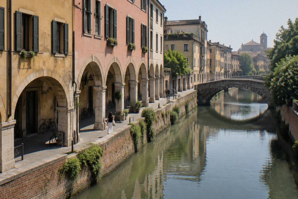
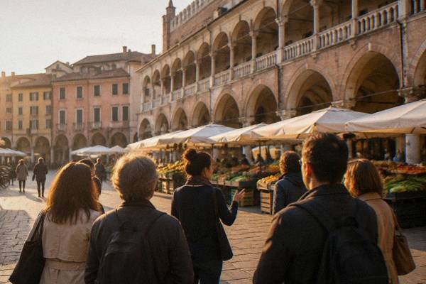
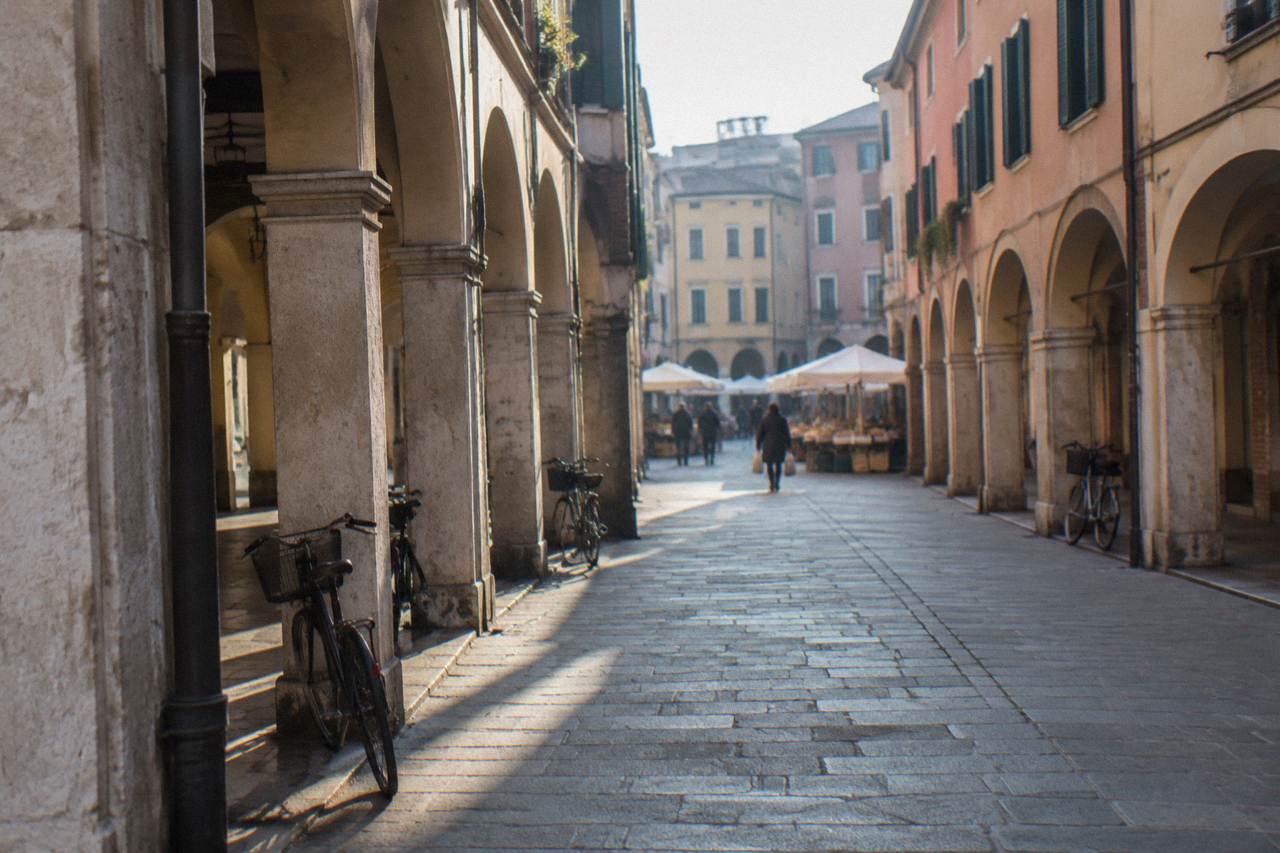
The confusion is understandable: search results for "Padua" and "Padova" sit next to Venice so often that the two blur. But the cities are distinct in kind. Venice is built on pilings in a lagoon; Padua is a Roman-grid market town on a river plain, with arcaded streets, towers and squares. Padua does have its canals, the Navile legacy of the Bacchiglione system, and one of its city gates, Porta Portello, also called Porta Ognissanti, opens onto the river where boats once left for the lagoon. That is the extent of the water connection.
This matters for planning. Anyone booking a "canal view" in Padua is booking a river view, and anyone expecting sea air gets the continental climate of the Po Valley instead.
What Is The Weather Like Where Padua Sits?
The ERA5 reanalysis for Padua, 1991-2020, shows a continental northern Italian climate: a January mean high of 7.3 C with a mean low of -0.2 C, July and August mean highs of 28.8 C, and a November rain total of 114.0 mm, the highest month of the year. The figures come from a modelled grid cell at the centre of the city, not a weather station record.
The plain position explains the numbers. Padua sits low and inland, so summers build heat and humidity, winters hold damp cold with fog, and the rain peaks in autumn. Snow is not a fixture of the modern climate: a long Padua series published in a 2025 climate study puts recent decades at an average of about 4.4 snowy days per year, down from about 10.4 in the 1785 to 1814 window, and seasons with none occur.
| Month | Mean high C | Mean low C | Rain mm |
|---|---|---|---|
| January | 7.3 | -0.2 | 53.6 |
| April | 17.6 | 7.8 | 84.4 |
| July | 28.8 | 18.9 | 62.1 |
| October | 18.4 | 10.6 | 105.4 |
| November | 12.6 | 5.5 | 114.0 |
For how that translates into a travel calendar, the season-by-season breakdown sits in the best time to visit guide, and is Padua worth visiting covers what the city gives you once you arrive in any of them.
Common Questions About Where Padua Is In Italy
Where Is Padua In Italy?
Padua is an inland city in the Veneto region of northern Italy, about 36 km in a straight line west of Venice, on the Bacchiglione river and the Venice to Milan railway line. The English name is Padua and the Italian name is Padova; they are the same place.
Is Padua part of Venice?
No. Padua is a separate city with its own comune and province, about 36 km from Venice in a straight line. The regional train links them in about 26 to 40 minutes, which is why the two are often visited together, but Padua is inland on the plain while Venice sits in the lagoon.
Which airport do you fly into for Padua?
Venice Marco Polo (VCE) is the nearest major airport. A direct Busitalia airport bus runs to Padua for EUR 13 one way, about 45 minutes, every 40 minutes through the day. Treviso airport (TSF) also serves the region.
What region of Italy is the Veneto?
The Veneto is Italy's northeastern region, containing Venice, Verona, Vicenza, Treviso and Padua, bordered by Friuli Venezia Giulia, Emilia-Romagna and Lombardy. Padua is its second-largest city by population, with about 208,000 residents on 1 January 2026.
How far is Padua from Rome?
Rome is far to the south, connected by high-speed rail via the Milan to Venice line through Bologna and Florence. The comparison, including what makes sense as a day trip versus an overnight, is covered in is Padua close to Rome.
Do Italians call it Padua?
Italians say Padova. Padua is the English name, and both refer to the same city in the Veneto; signs and train boards in Italy use the Italian form.
Pin the geography once and the rest of the planning follows: an inland Veneto city, 36 km from Venice, with the Euganean Hills at its back door and the rail spine of northern Italy running through its station.